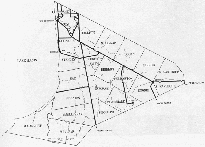
Below is a Map of the Huron District showing the location in 1842 of nearly all the Townships assessed in the 1842 assessment. Ashfield Township and Wawanosh Township (which, probably because they weren't owned by the Canada Company, and were added to the Huron District separately, don't appear on any maps we found from that era) are located north and northeast of Colborne Township. In the 1842 assessment, settlers living in Wawanosh Township were assessed with the people living in Ashfield Township (see Notes: Transcription Notes for more information).
Also notable is the appearance of Bosanquet Township on this and most other maps of the Huron District from the early/mid-1800s. This Township was apparently not a part of the Huron District in 1842 when the assessment took place, and was therefore not assessed, but for some reason was still included on many maps.